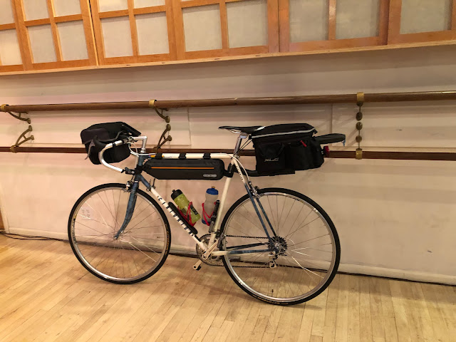
The start of my 4000-mile trip: Getting to Newark
The first route of my 4000-mile trip this summer, Big Loop-01, starts in Newark. But I live in Manhattan, on 26th Street between 6th and 7th
Avenues, so I need to decide how to get to Newark, and that involves crossing
three rivers: the Hudson, the Hackensack, and the Passaic. Here are two
options:
By using the OSM Cycle option I developed a route that I thought might be safe. Today while attempting to ride that route I made a mistake and instead rode a slightly different route.
My mistake was at mile 4.8, where I continued on the north side of Route 1/9 rather than crossing over to the south side of Route 1/9. I therefore had to make some dangerous crossings of exit and entrance ramps between mile 5.1 and mile 5.2 that I would have avoided if I had been on the south side of Route 1/9. At mile 5.9 I rejoined the route I had planned to follow.
Despite my mistake, I consider my ride today safe enough to repeat but I would be sure to cross to the south side of Route 1/9 at mile 4.8. While crossing the rivers I was always on a walkway, never in the traffic lane, but some of the walkways were rather rough.
The final two miles of the route, on Raymond Boulevard through an industrial neighborhood, is rather unpleasant but I see no alternative. Most of the ride on Grand Street (from mile 0.22 to 1.9) is also industrial and unpleasant, but it can be avoided by riding on Montgomery Street which, from Google's street view, appears to be more residential. I've created a revised route that takes Montgomery rather than Grand.
I will ride my revised route to determine whether I want to ride it on the first day of my 4000-mile trip this summer. I know that it will be safer and more pleasant than the route I rode today, but it's possible that because of the roughness of some of the paths I will decide to forgo taking the ferry across the Hudson River and riding across the Hackensack and Passaic Rivers and instead take the PATH train to Newark.
- Ride to the PATH station at 33rd and 6th and take the PATH train to Newark
- Ride to the ferry terminal in Battery Park City, take the ferry to Paulus Hook, and then ride to Newark
By using the OSM Cycle option I developed a route that I thought might be safe. Today while attempting to ride that route I made a mistake and instead rode a slightly different route.

|
| Route I planned to ride |
My mistake was at mile 4.8, where I continued on the north side of Route 1/9 rather than crossing over to the south side of Route 1/9. I therefore had to make some dangerous crossings of exit and entrance ramps between mile 5.1 and mile 5.2 that I would have avoided if I had been on the south side of Route 1/9. At mile 5.9 I rejoined the route I had planned to follow.

|
| Blue: planned Red: ridden |
Despite my mistake, I consider my ride today safe enough to repeat but I would be sure to cross to the south side of Route 1/9 at mile 4.8. While crossing the rivers I was always on a walkway, never in the traffic lane, but some of the walkways were rather rough.
The final two miles of the route, on Raymond Boulevard through an industrial neighborhood, is rather unpleasant but I see no alternative. Most of the ride on Grand Street (from mile 0.22 to 1.9) is also industrial and unpleasant, but it can be avoided by riding on Montgomery Street which, from Google's street view, appears to be more residential. I've created a revised route that takes Montgomery rather than Grand.

|
| Revised route |
I will ride my revised route to determine whether I want to ride it on the first day of my 4000-mile trip this summer. I know that it will be safer and more pleasant than the route I rode today, but it's possible that because of the roughness of some of the paths I will decide to forgo taking the ferry across the Hudson River and riding across the Hackensack and Passaic Rivers and instead take the PATH train to Newark.
You can see the
route I planned to take, the
route I rode today, and my
revised route
in my
Paulus Hook to Newark event. If you'd like to see them all at once, click on the "Show all on map"
button.

Comments
Post a Comment