May 12, 2023 - Black Rock State Park, CT, to South Norwalk, CT
End: South Norwalk, CT
Miles: 55.3
Feet climbing per mile: 75
Record of the day's ride: https://ridewithgps.com/trips/120874677
It was cloudy and chilly, in the 50s, when I woke from a night of restful sleep. Rather than going immediately to the pond I first took down my tent and packed all my gear in preparation for my ride to South Norwalk. When the sun came out about 9:00 and the air felt warmer I headed to the pond for more skinny-dipping. At the edge of the water I saw a formation of a large number of what I think were tadpoles you can see in the video below.
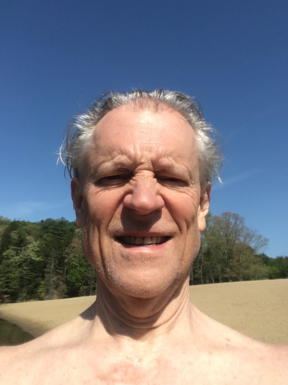
After swimming several times between the buoys (see the video in May 11, 2023 - Black Rock State Park, CT loop) I did my best to smile with the bright sun in my eyes as I took the selfie below.
On my way back to my campsite I spoke with a man and two women I had seen the previous day walking from the pond in bathing suits. They told me they had not gotten in the water, and the man said "I got to the sack and that was it".
Back at my campsite I changed into my biking clothes, put on plenty of sunscreen (I had used it both prior days of the trip), filled my water bottles at the camp office, and was on my way.
A half mile into my ride I turned onto Bidwell Hill Road in order to avoid the traffic on US-6. I probably would have done better to stay on US-6, because the traffic was light and I needed to walk a short distance up Bidwell Hill Road before returning to US-6. At mile 5.1 I needed to walk a short distance up Hamilton Avenue.
At mile 9.6 I had a beautiful view of Lake Quassapaug which you can see in the video below.
At mile 12.7, in order to avoid heavy traffic on CT-118, I took the same private road I had ridden two days prior. This time I was able to enter the road by riding through, rather than around, the barriers.

I thought the silo at mile 17.8 looked magnificent.

A half mile later I was on Oneil Road, which RideWithGPS pronounced as OH-nee-ul. Is that right? I would expect it to be oh-NEEL.

|
| Oneil Road |
Shortly before mile 20 a house caught my attention.

I especially liked its exposed copper and its eagle.

After stopping to take pictures of the house I needed to walk a short distance up Bowers Hill Road.
At mile 22.5 I stopped at the Lake Zoar Drive-In, as I had done two days prior. Kelsey waited on me again but his time I ordered two scoops, rather than one, of chocolate ice cream. When Kelsey charged me for just one scoop I told her she had undercharged me. She said she made a mistake and that the second scoop was on her. I suspect she had not made a mistake but rather had applied a crazy-cyclist discount.
At mile 24.7 I had to walk almost half a mile up Chestnut Hill Road.
At mile 35.8 I stopped to enjoy a waterfall on the Aspetuck River.
At mile 36.3 I needed to walk almost half a mile up Meeker Hill Road. Are you starting to see a pattern?
At mile 37.3 I stopped at Pignones Redding Ridge Market & Deli to enjoy a Mountain Dew.


While I was at Pignone's I considered cutting my ride short by riding to the Branchville train station where I could catch a train to South Norwalk. Google maps said there would be a steep hill on my way to Branchville whereas RideWithGPS showed almost all descending into South Norwalk. So I stuck with my original plan.

|
| Profile of the final 18 miles of my ride |
At mile 37.8 I needed to walk a short distance up Giles Hill Road. Do you recognize the pattern now?
At mile 40.2 I had a beautiful view of the Saugatuck Reservoir which you can see in the video below.
The speed at which the traffic was going on the beautiful Newton Turnpike (CT-53) suggested that most of the drivers were either dyslexic or treating the name of the road as the speed limit.

At mile 41.1 I needed to walk up Newtown Turnpike for a short distance. Because of the narrow shoulder I walked against traffic.
At mile 46 the Newtown Turnpike was unpaved, contrary to what RideWithGPS said. I didn't know for how long the gravel might continue, but I could see that my first chance to exit from this road was about a mile away. In order to avoid heavy traffic on CT-53 I decided to take my chances and ride the gravel, which turned out to last for about three quarters of a mile.

|
| Newtown Turnpike |
At about mile 49 a car passed me much too closely. I caught up to the driver at the next stop light and engaged her in conversation. That's a polite way of saying I yelled at her (through the closed passenger window) for putting my life in danger. Although I couldn't hear her, she responded in way that suggested she thought I had no business on the road and that if I got hurt it was my own fault. She clearly did not understand the idea of sharing the road. She drove away without ever opening the window.

After I calmed down I thought about how I contributed to the close call and realized that I had not been aware of the car until it was alongside me, which implied that I had not been watching my rear-view mirror. I intend to do better in that regard, especially on roads with inadequate shoulders.
At mile 50.1 I was surprised to see a sign for Columbine Lane. I wonder whether the street was named before or after the mass shooting at Columbine.

Coming into South Norwalk during rush hour was not as easy as leaving it two days prior had been. Some of the drivers were rude, honking when I would ride in the middle of the right lane on a four-lane road, while others were especially polite, waving me to continue straight when the driver had stopped before making a turn. I arrived at the Metro North Train station just after 6:00 and caught the 6:15 train which arrived in Grand Central at 6:30. I was almost doored while riding home on Park Avenue and yelled at the driver "Watch that fucking door!" After I calmed down I realized I had been riding in the door zone, and too fast.
I arrived home at 7:45, in one piece!
* * *
This three-day trip of 137 miles was my shortest trip of that many days, but the climbing of 92 feet per mile in the hot sun made up for the reduced distance. Did you notice that I didn't mention leg cramps? That's because I didn't have any, either during my rides or at night. I believe that's due to my increased water intake and my use of 40,000 Volts! electrolyte concentrate suggested by my nutritionist. I'll write about that in a forthcoming Health Report.
Did you recognize the pattern about which I asked above? I've added an aphorism to my Aphorisms and Exhortations:
Be wary of roads with "hill" or "mountain" in their names.
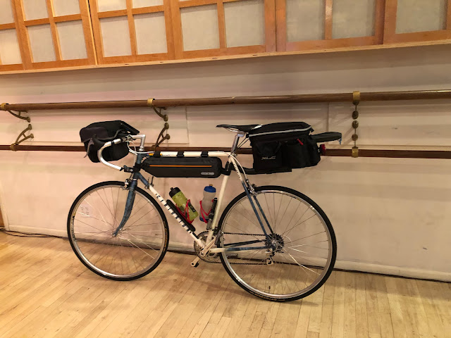
I carried one bungee cord to secure my bike while on the train and to keep my food and other items out of reach of critters while camping. I would do better to bring a second bungee cord for securing my bike on the train, and will do so in the future.
Although I did not bring my goggles, I was able to swim underwater while wearing my contact lenses by keeping my eyes closed, and the second and third times I swam I did not wear my contact lenses. I will remember to bring my goggles whenever there is a possibility of swimming. It could also be interesting to carry a thermometer to know how cold the water is. The one shown below, including its batteries, weighs only 1.3 ounces.

The day after this trip I weighed the extra gear I carried for camping (tent, footprint, sleeping bag, sleeping bag liner, air mattress, air pillow, pillow case, clothesline, microfiber towel, and top-tube bag) and learned it weighed just five pounds. Amazing, right?
When packing for this trip I was unable to put my light sleeping bag liner in my top-tube bag in addition to the other items as shown in How I Pack My Gear, which meant that the liner had to be packed in the trunk bag, making it over-crowded. The day after this trip I experimented with the packing of the top-tube bag. I discovered that if I fold the air mattress in quarters and the footprint in eighths, then the liner and also the clothesline and the headlamp will fit in the top-tube bag along with everything else.
I'm looking forward to my next trip, probably in June to Martins Creek, PA.
Previous day:
May 11, 2023 - Black Rock State Park, CT loop
If you post a comment, please identify yourself.

John,
ReplyDeleteI enjoy reading your blog. I think I know your super food: ice cream!
Gary, Vienna, Va
Correct!
DeleteColumbine (Aquilegia) is a beautiful (in my opinion) perennial. It's so sad that now when googling it, usually the first item that appears is a horrible event in our country's history.
ReplyDeleteI had no idea that Columbine was a flower.
Deletehttps://www.almanac.com/plant/columbine