June 6, 2023 - Hackettstown, NJ, to Jim Thorpe Camping Resort, PA
End: Jim Thorpe Camping Resort, PA
Miles: 70.8
Feet climbing per mile: 77
Record of the day's rides: https://ridewithgps.com/trips/123765871 https://ridewithgps.com/trips/124160189
I woke at 7:30 feeling refreshed and ready to ride. All my concerns of the previous evening were gone.
In the elevator with me as I was about to leave was a man dressed in a suit, obviously heading to a business meeting. I noticed that his shoes were shabby and needed polishing. I didn't say anything to him about them.
I learned about the Jim Thorpe Camping Resort, where I planned to spend two nights, a few years ago when my friend Will Galison, one of the world's best jazz harmonica players, had a gig at Vic's Jazz Loft in the Stabin Museum in Jim Thorpe. I was looking forward to seeing what promised to be a charming town.
I had ridden to Hackettstown and stayed in an airbnb in 2016 and 2017. On the second day of my trip in 2017 I rode a loop (Hackettstown, NJ - Mountain Lake) west of Hackettstown. With the exception of a small portion of that loop, all of the riding I would do west of Hackettstown would be new territory for me.
The first eight miles, on Route 57, had substantial traffic. Shortly after turning off 57 onto Port Colden Road which had almost no traffic, I saw a church that caught my attention.

At mile 9.8 I was on Tunnel Road which was similar to many of the roads I would be on throughout the day.

|
| Tunnel Road |
At mile 17.5 I stopped at Skoogy's Deli to enjoy some chocolate ice cream.


The Riverton-Belvidere Bridge over the Delaware River took me from New Jersey into Pennsylvania. It was an open-grate bridge so I would have taken the sidewalk even if there had been no sign instructing me to do so. However I encountered no pedestrians on the sidewalk so I rode across the bridge, rather than walked as the sign required.

|
| Riverton-Belvidere Bridge |
At mile 31.6 I stopped at the Turkey Hill Minit Market to enjoy my favorite cycling beverage.

Before settling on the Jim Thorpe Camping Resort as my destination for this trip, I had considered staying at the Gateway Motel at the north end of Wind Gap. Google had many positive reviews about the motel and its caretaker Satish, especially from those hiking the Appalachian Trial, but I received no reply to phone messages inquiring about rates and availability. I was curious about the Gateway Motel and so I stopped there (mile 32.7) and met Satish, who was indeed the generous gentleman described in all the positive reviews. He showed me a room which was clean and which had a firm bed. The Gateway Motel is the perfect place for a hiker or biker to stay.

|
| With Satish |
After leaving Satish I was soon on a beautiful stretch of road with almost no traffic that would continue for 13.5 miles.

|
| Mountain Road |
At mile 38.7 I saw a beautiful pond.
Of course I stopped to put my feet in the water.

At mile 40.9 I saw a fixer-upper with great potential.

At mile 44.5 I had a clear view of the Blue Mountain Ridge.
At mile 51.2 I stopped at Claude's Creamery where I bought chocolate ice cream which I enjoyed while sitting on a bench in the nearby Palmerton Borough Park.

I generally avoid trails, but for this ride I had planned to take the D&L Trail which started at mile 55.2 and continued for 2.5 miles. I was glad to see that the trail consisted of fine, well-packed gravel.

|
| D&L Trail |
At mile 59.1 I used Google Maps to revise my route in order to avoid the heavy traffic on Route 209. In retrospect I think I would have done better to stick with my original route and put up with the traffic on 209 for a mile and a quarter. Even better would have been to continue on 209 for three miles and then take West Broadway. The alternate route added distance and eventually directed me at mile 62.1 to take Konowaletz Road with coarse gravel that I chose to not take.

|
| Konowaletz Road |
I then reconnected with my original route at mile 63.0, which unfortunately put me on Flagstaff Road, much of which had a rough surface.
A driveway can't have vision, so how can a driveway be blind? The correct term is "Hidden Driveway". The use of the incorrect term is a category mistake.

While descending the last portion of Flagstaff Road my earpiece fell off my ear at mile 65.9 because the surface was so rough.
I arrived at the Jim Thorpe Camping Resort at quarter after six, nine hours after leaving Hackettstown.

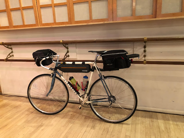
I had reserved a tent site without water or electricity for two nights but had not chosen the site. When I arrived I found a map on the door of the closed office which indicated my campsite far into the campground. Unfortunately the roads in the campground were all made of large gravel on which I could not ride. I called Bill Maurer, one of the owners, and told him my problem. He told me to take the site next to the pool. This campsite had water and electricity and was near to the entrance of the campground as well as the camp store and the showers. I had my tent up in 20 minutes. I ought to practice setting it up so that I could do it much faster in case I need to set it up in the rain. In the back of the picture below, taken the next morning, you can see my towel, shorts, and shirt hanging from my clothesline.

I called The Mad Hatter Winery & Smoke House and was told they were a small bar and there was no room for my bike inside, but that there were tables outside. After my customary shower, shave, and change of clothes I rode to the Mad Hatter. On my way there I thought that it was starting to rain, but then I thought there was grit in the air. The next day I realized it was ash from the Canadian wildfires.
When I arrived I saw that the bar was not crowded, and was shown a place inside to park my bike where it would not interfere with traffic in the bar. I ordered a bowl of soup and a hamburger. While I was eating my soup my waitress asked "How is the soup, so far?". That was only the second time I had heard "so far" from a server, the first time being the night before. Weird, right?
The ride from the campground to the Mad Hatter was completely downhill so the return ride was completely uphill. The climb was made easier by the elimination of the five pounds of camping gear, but I still had to walk a short distance at the end of the climb.
Previous day: June 5, 2023 - Convent Station, NJ, to Hackettstown, NJ
Next day: June 7, 2023 - Jim Thorpe Camping Resort, PA, to Tamaqua, PA, and return
If you post a comment, please identify yourself.

What a beautiful ride John! I have another friend named John and his wife Sandra that are also cyclers . I should connect you. Warmly, Linda Donnell
ReplyDeleteBlind vs. Hidden Driveways:
ReplyDeleteA blind driveway is a private driveway entering a public road in such a way that drivers on the road cannot see it, drivers on it cannot see the road, or (frequently) both.
A hidden driveway is generally one that is around a sharp curve or over a hump and that lacks the minimum sight distance required for a proper and safe driveway.
I don't think there's any distinction between a blind driveway and a hidden driveway, except that the term used for the former is a misnomer because of the category mistake.
Delete