Day 3: July 8, 2024 - Astoria, OR, to Manzanita, OR
End: Manzanita, OR
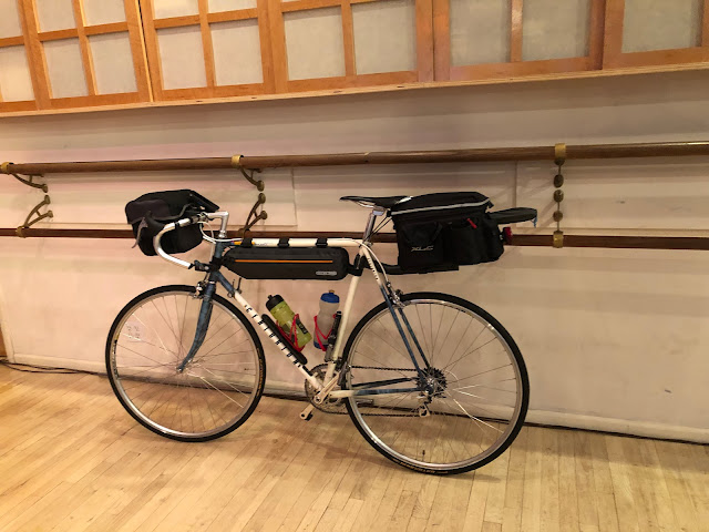
Miles: 50.1
Feet climbing per mile: 71
Records of the day's rides:
I was up at 6:00 and on the road at 7:00. I rode a few blocks to get to the start of the Trans Am Bike Race route which I will follow until southern Illinois. I’ve thought about riding that route for at least six years when I first watched the video Inspired to Ride about the first Trans Am Bike Race. (I wrote about how that video inspired my 4,500-mile trip five years ago in How I Decided to Ride 4,000 Miles This Summer.) It was a big deal for me to be at the beginning of that route, ready to ride it.
The first 23.5 miles were full of beautiful scenery on beautiful roads. Oregon is green.


The fog over the ocean was sometimes so thick I imagined there could have been a land mass under it. It reminded me of the Shadow Fold in the TV series Shadow and Bone.
But then I was on 101, known as the Oregon Coast Bike Route. The shoulder was usually narrow or nonexistent, the traffic was heavy and fast and included logging trucks. Logging trucks on a route called Oregon Coast Bike Route! As I saw one in my rear view mirror approaching me I channeled Alex Honnold so that I would stay calm and steady as the truck was so close I might have been able to touch one of its logs. What a nightmare for cyclists 101 is!


I arrived at Nehalem Bay State Park at 2:45.


I had dinner at the Big Wave Cafe. Before going to sleep I created a route for the next day that would avoid 101.
See all of my daily routes here: Cross Country 2024
Follow my progress on this map.
Follow me on Facebook here.
If you’d like to help pay for the cost of this trip, please do so by clicking on the GoFundMe graphic at the bottom of this post.
If you post a comment, please identify yourself,
preferably by using your Google account.


Hey John: Apparently I am in a fight to the death with Blogger over being on your blog here as myself as opposed to "Anonymous." Or it may just be me trying to use the app from an iPad. That's not likely though as I was able to find my old Blogger login information (it looks like I last used it in 2016) to pull my user account up as if I last used the app yesterday. Despite going straight to your blog from inside Blogger, the app continued to insist I post comments as "Anonymous." So go figure. I'll try it from my PC tomorrow… we'll see.
ReplyDeleteSo you're staying in the Nehalem campground. As soon as I saw your pic with the sign the raised tent platform flooded into my head. I've stayed there twice; once in 1995 during a trip pedaling from San Francisco to Seattle on the coastal route and a second time in 2000 with my wife Heather on our tandem cycling the OCBR from Astoria south to the California state line. One of the nicest overnight places on both those trips.
I wish I'd caught you, though, before you gave up on the OCBR. South of Nehalem Bay is where the route really begins to get super interesting. Incredible views of the coastline and crossing bridges that are both historic and beautiful are just two of the high points. The real gem of the whole ride is where old US 101 diverges from the modern highway for a few miles. Memories of those places have stuck with me for a couple of decades now.
In any event, I'll be watching for your next post. I assume that you're headed inland to the east by this point and that is uncharted territory for me. I'm very much looking forward to seeing it through your eyes and descriptions. ~David Edgren
p.s. You're probably stuck with the logging trucks anyway until you crest the Cascade Range. My only advice is don't worry about some thing you cannot change- just be as watchful and alert as you can. ~David
I think you're not the only one to have trouble posting comments with your google account. I used to have that problem, too.
DeleteThe OCBR is just too dangerous in some of its sections. Maybe it was different in 1995 and 2000.