Day 64: September 7, 2024 - Frisco, CO, to Hoosier Pass, and return
Turnaround: Hoosier Pass
End: Frisco, CO
Miles: 41.2
Feet climbing per mile: 74
Record of the day's ride: https://ridewithgps.com/trips/219305222
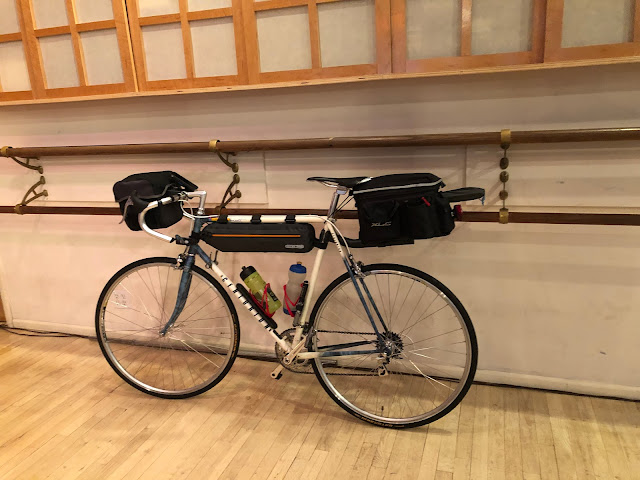
For my ride up to Hoosier Pass my bike was unloaded as it had been for my ride two days ago.
Since I wasn’t using my handlebar bag in which I usually carry the external battery for my phone, I secured the battery to the bear-spray cage with a piece of Velcro from my top-tube bag.
Most of the ride from Frisco to Breckenridge was on a bike path.
The ride started at 9,000 feet and would ascend to 11,500 feet. I expected the change in elevation to be a challenge, so I took it easy for the entire ascent. I stopped a few times to let my breathing normalize. Whenever I resumed riding I never felt the heaviness in my legs that I often have after taking a short rest. Perhaps the heaviness is the result of working harder than some threshold.
There was moderate traffic and usually no usable shoulder, but the lanes were wide and the drivers all seemed to know how to give me plenty of room.
The scenery on the hard part of the climb was gorgeous.
I looked back and thought “I just climbed that”.
I made it to the top without ever walking.
The descent presented a different sort of challenge. When I’m moving slowly I can ride on a narrow shoulder or on the white line, but that’s not possible if I’m going 15 miles per hour or more. The faster I go the wider the space in which I need to ride.
I stopped in Breckenridge at Crepes A La Cart where I had a breakfast crepe followed by a dessert crepe. They were both delicious but I would have preferred a real plate to the paper plate and metal flatware to the plastic.
On the north end of Breckenridge I passed a skating park.
After Breckenridge I continued to ride with vigor. I wonder whether that was partly due to the lower elevation.
For dinner I returned to the 5th Avenue Grille where I ate my first night in Frisco. This restaurant was my clear favorite.
Follow my progress on this map. Click VIEW ALL and then pinch the map to see my progress from the start in Portland.
Follow me on Facebook here.
If my blog posts provide you with vicarious pleasure, please consider making even a small contribution towards the cost of my trip (which I now expect to be at least $12,000) by clicking the GoFundMe graphic below. Every contribution helps!
Please share my blog with anyone you think might be interested.
If you post a comment, please identify yourself,
preferably by using your Google account.


ReplyDeleteGreat to see you conquered cycling to 11K!
Gary
Vienna, VA