Day 74: September 17, 2024 - Burns, TN, to Murfreesboro, TN
End: Murfreesboro, TN
Miles: 73.8
Feet climbing per mile: 51
Record of the day's ride: https://ridewithgps.com/trips/222447197
When I woke I heard a repeated tapping sound. I found a woodpecker in a tree on my campsite.
Two other campers, Larry and Connie, were walking by so I showed them the woodpecker. They noticed my clothes on the clothesline, probably wetter, due to the dew, than when I hung them, and told me there was a dryer in one of the wash houses. The dryer cost $2.75 for one cycle but I had only two quarters. They gave me the additional nine quarters I needed. I recorded their gift as a GoFundMe contribution (as $2.00 because GoFundMe allows only whole-dollar amounts). Thank you, Larry and Connie, for telling me about the dryer and for the quarters!
Before I took the picture of the cow below, there were two cows that walked away when I brought out my phone to photograph them. This cow was not camera-shy.

There was a beautiful shoulder on my way into Franklin, but I think that lots of money was mis-spent. What’s the point of the sign that says BIKE LANE? And what’s the purpose of the two extra white lines in the shoulder? The money for the signs (there were several along the road) and for the extra lines would have been better spent repaving other sections of the shoulder that have rough chipseal.

From my big trip in 2019 I remember the bridge carrying the Natchez Trace Parkway over the road on which I was riding.

In Franklin I found the place where I had seen the festival July 4th, 2019.
It seems that the people living around Franklin have plenty of money for huge houses and huge lawns but no money for sidewalks or shoulders.
Is that a peloton in front of the home?

Late in my ride I saw two goats stuck in the fence surrounding the field in which they live. In an attempt to get them help, I knocked on the doors of the neighboring homes but there was no answer.
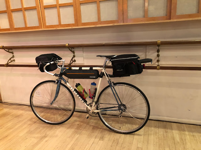
Recently I had noticed that the cable for my rear derailleur was starting to fray at its front end. At about mile 60 I called a bike shop located a few miles north of my destination and confirmed they had the cable I needed. I used Google Maps to create a route to the bike shop. It took me on a well-paved trail.

The trail included a distinctive bridge.

I spent the night at Knights Inn in room 105, the very room in which I stayed five years ago. That was not a coincidence. The person who checked me in examined his records and intentionally assigned me the same room. Unfortunately the pool had been closed since Covid.
I had dinner at the Parthenon Grille, the same place I ate five years ago. The food was again outstanding.
Follow my progress on this map. Click VIEW ALL and then pinch the map to see my progress from the start in Portland.
Follow me on Facebook here.
If my blog posts provide you with vicarious pleasure, please consider making even a small contribution towards the cost of my trip (which I now expect to be at least $12,000) by clicking the GoFundMe graphic below. Every contribution helps!
Please share my blog with anyone you think might be interested.
If you post a comment, please identify yourself,
preferably by using your Google account.


Comments
Post a Comment